Quick, find your hiking boots. We’ve collected eight excellent hikes across WNC — and we’re challenging you to try all of them.

Mt. Pisgah | Photo by @audrago4th
1. Mt. Pisgah, Blue Ridge Parkway Milepost 407.6
- Difficulty level: Strenuous
- Length: 3 miles (round-trip)
- ~45 minutes from AVL
- Dog-friendly: Yes – active dogs only
This hike is filled with some of the best views of the Asheville area. Bonus points if you can point out Biltmore Estate once you’re at the top. This trail is rocky, so wear good shoes.
Pro tip: Make the hike a day trip by taking the six-mile loop to Fryingpan Lookout Tower which is marked on the Pisgah trail (or drive to Milepost 408.5 to start the trail there).
2. Linville Falls, Blue Ridge Parkway Milepost 316.4
- Difficulty level: Easy-Strenuous
- Length: 4 miles (round-trip)
- ~1 hour + 15 minutes from AVL
- Dog-friendly: Yes
Located in Burke County, Linville Falls is one of the most photographed waterfalls in N.C. In this four-mile hike, you can have access to all five viewpoints of the falls. There is also a picnic and camping area. Bonus: There is an alternate + shorter route during the winter months.

Catawba Falls | Photo by @audrago4th
3. DuPont, 89 Buck Forest Rd, Cedar Mountain, NC 28718
- Difficulty level: Easy-Moderate
- Length: 3.5 miles (round-trip)
- ~1 hour from AVL
- Dog-friendly: Yes
Don’t go chasing waterfalls... well you should this time. DuPont is 10,000-acre outdoor playground near Brevard that is full of trails, picnic areas, and – you guessed it – waterfalls. This round-trip hike is a little under four miles and depending on how you map your day out, you can venture to High Falls, Triple Falls + Hooker Falls. DYK: Scenes from The Hunger Games and The Last of the Mohicans were filmed there.
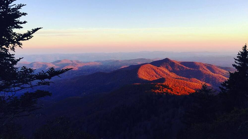
Black Balsam view | Photo by @audrago4th
4. Black Balsam, Blue Ridge Parkway Milepost 420.2
- Difficulty level: Easy-Moderate
- Length: 0.5-5 miles (round-trip)
- ~1 hour from AVL
- Dog-friendly: Yes
Say hello to some of the most gorgeous mountain balds in the Southern Appalachians. Black Balsam Knob is the 23rd highest of the 40 mountains in North Carolina over 6,000 ft (an elevation of 6,214 ft.). This hike is incredibly unique since you are hiking among the balds rather than a steep incline. Pro-Tip: The best time for this hike + camp is late April-October. This part of the Parkway is closed during winter.
5. Graveyard Fields, Blue Ridge Parkway Milepost 418.8
- Difficulty level: Easy
- Length: 4 miles (round-trip)
- ~45 minutes from AVL
- Dog-friendly: Yes
Graveyard Fields holds a lot of environmental history. With trees once destroyed by wind + a fire in 1925 that burned some of the logged areas, this trail has made a slow recovery giving it a cryptic yet still enchanting vibe. The hike itself is pretty easy and you even have the pleasure of walking along a boardwalk for some of it. Pro tip: During the summer months plan to cool down at Skinny Dip Falls (less than two miles away).
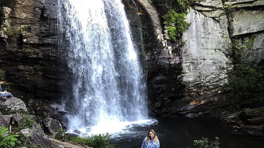
Looking Glass Falls | Photo by @audrago4th
6. Looking Glass Falls, US-276, Brevard, N.C. 28712
- Difficulty level: Easy
- Length: 0.25 miles (round-trip)
- ~45 minutes from AVL
- Dog-friendly: Yes
Looking Glass Falls really isn’t much of a hike itself – but it is a here in WNC. While the trail to the 60-ft waterfall is only a quarter of a mile round-trip, there are plenty of smaller trails nearby that you can make this an all-day adventure. Pro tip: Take this trip in the summer and swim in the water hole.
7. Chimney Rock State Park: Skyline Trail, 431 Main St, Chimney Rock, NC 28720
- Difficulty level: Moderate-Strenuous
- Length: 2.2 miles (round-trip)
- ~45 minutes from AVL
- Dog-friendly: Yes – active dogs only
- Cost: $7 youth + $15 adults
The new Skyline Trail is the highest segment of hikes at Chimney Rock State Park. From start to finish (the park’s upper parking lot) the trail is a 2.5 hour RT journey. Before reaching the Skyline Trail, you must complete 838 stairs on the Outcroppings + Exclamation Point trails.
The Outcroppings trail leads to Vista Rock, Pulpit Rock + the signature Chimney Rock. Further up to the Exclamation Point trail, you will pass Devils Head (a rock shaped like the Devil), and will end at the highest peak filled with breathtaking views.
From there, you will begin the Skyline Trail – which wraps its way through the forest, across Falls Creek to the upper half of Hickory Nut Falls. Pro tp: Bring tons of water + a snack. There are several great resting stops to enjoy a picnic.
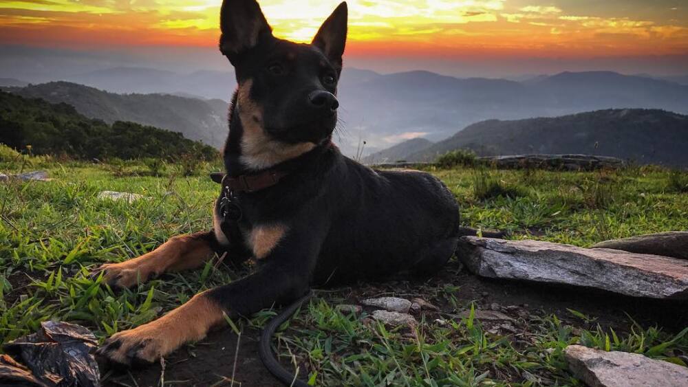
Bearwallow Mountain | Photo by @audrago4th
8. Bearwallow Mountain, Bearwallow Mountain Rd, Hendersonville, NC 28792
- Difficulty level: Easy-Moderate
- Length: 2 miles (round-trip)
- ~35 minutes from AVL
- Dog-friendly: Yes, but beware – there are cows so dogs must stay on a leash
Bearwallow Mountain is a great year-round hike. With panoramic views, you can have a picnic + watch the sunset. (Just note that there are cows grazing this privately owned area that is protected by a land conservation easement – yes it is still OK to hike). The hike up the trail is kind of strenuous, but one can take the service-road for an easier route.

